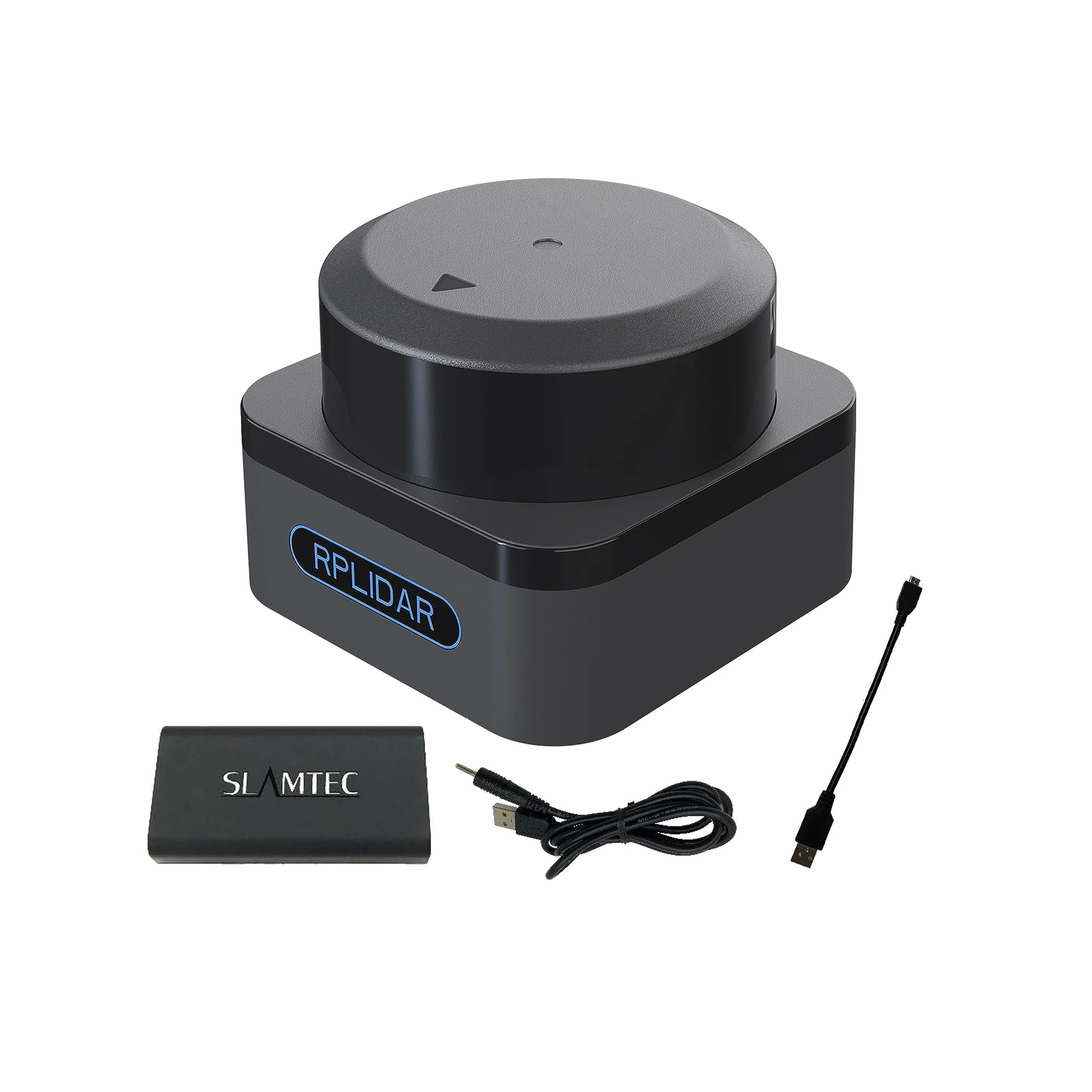
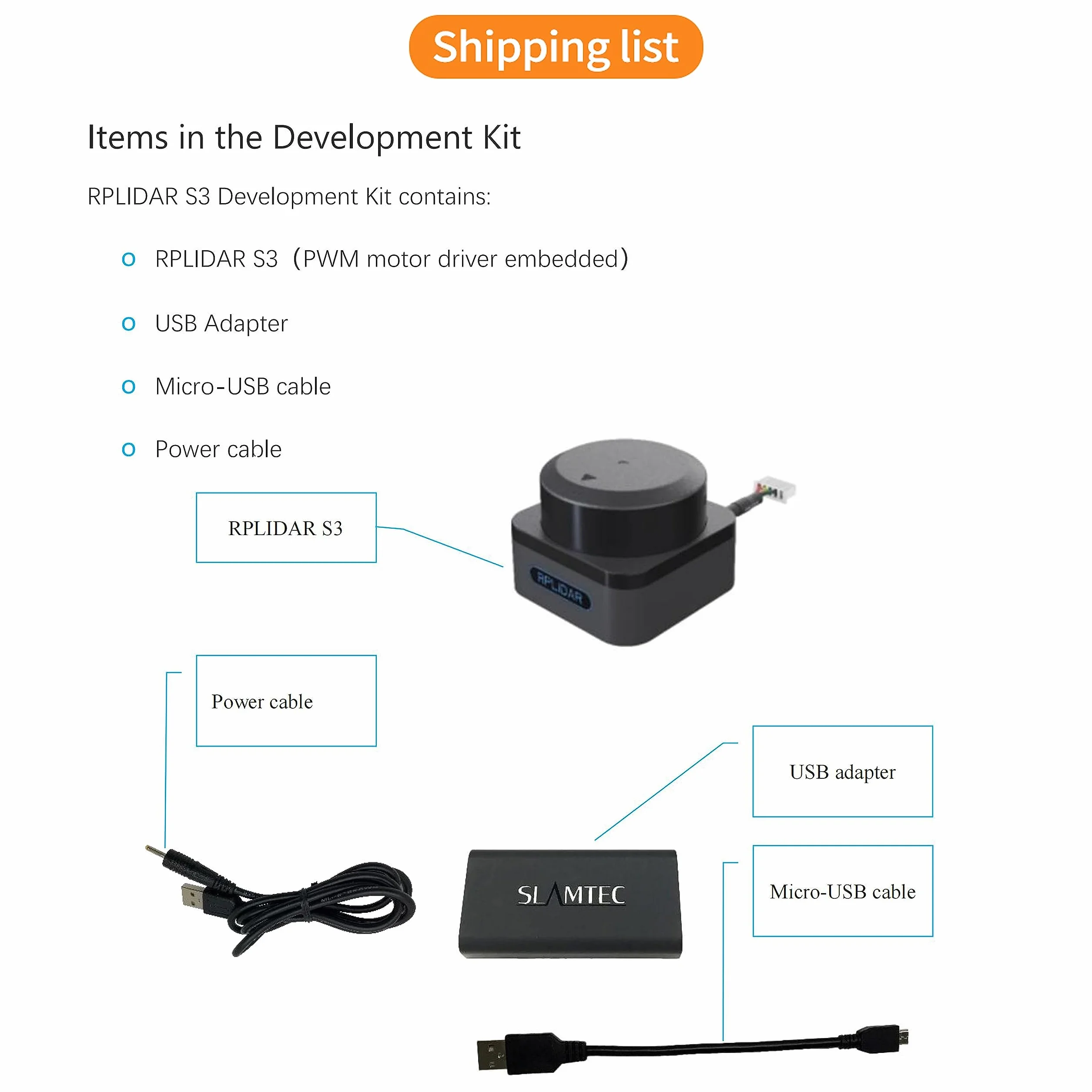
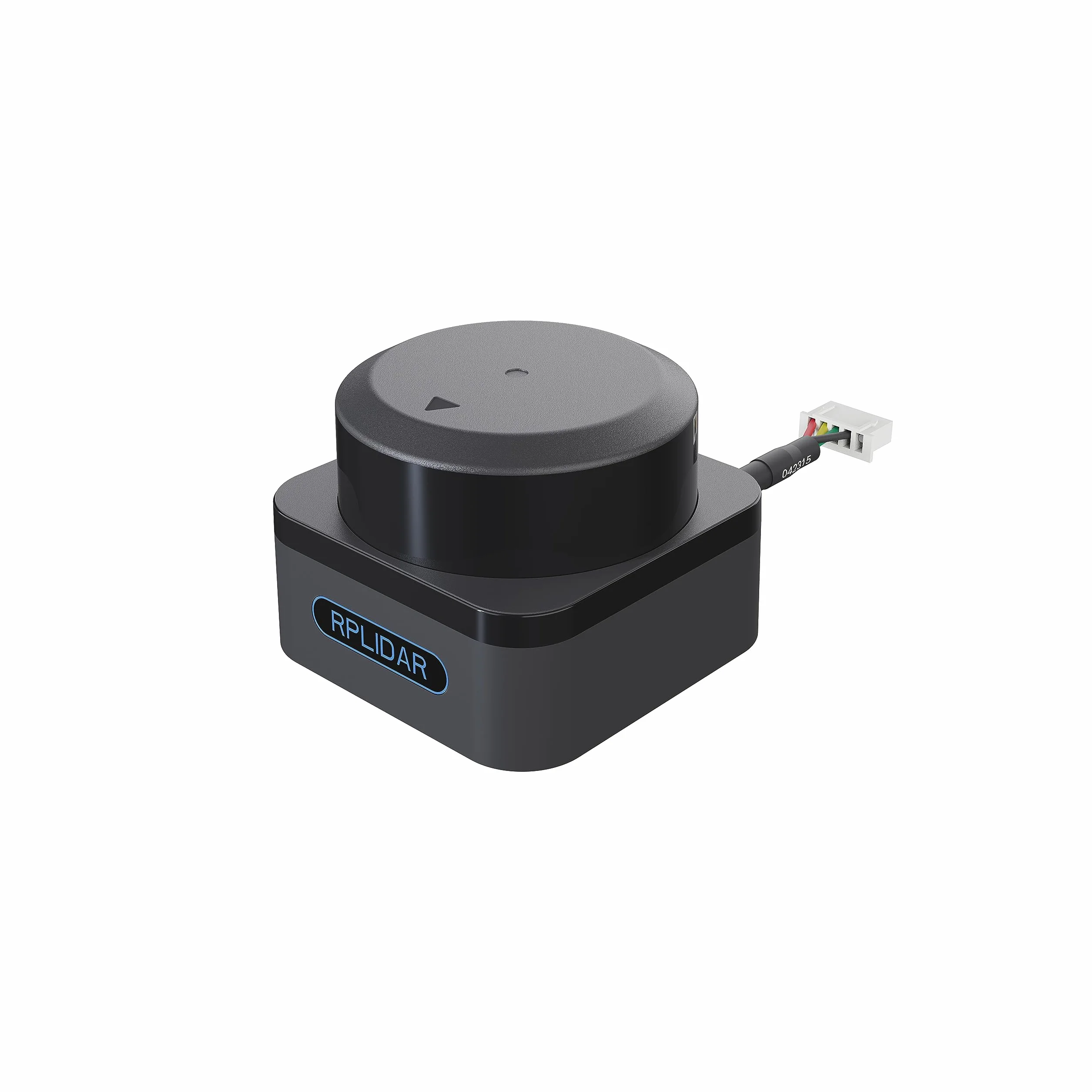
WayPonDEV RPLIDAR S3 360 Degree 2D Lidar Sensor 40m Scanning Radius IP65 Slam Ros LIDAR Scanner Distance Module for Obstacle Avoidance and Navigation of Robots AUV
Product Overview
Marca: WayPonDEV
¿Se incluyen las pilas?: No
Color: 40m
Material: Polyvinylchlorid
Peso del producto: 160 Gramos
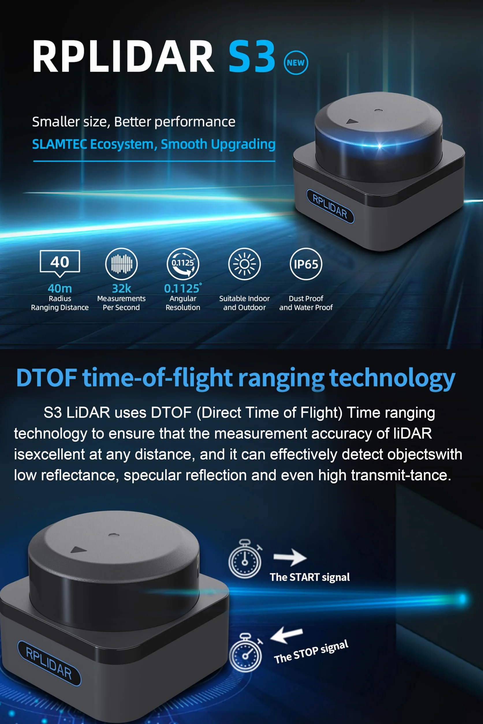
Rango de medición: 0.05 - 40m
Calificación de protección internacional: IP65
Número de unidades: 1.0 Conteo
Número de productos: 1
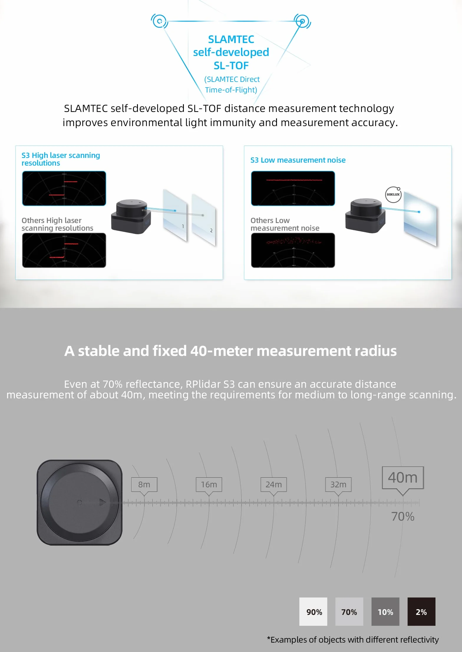
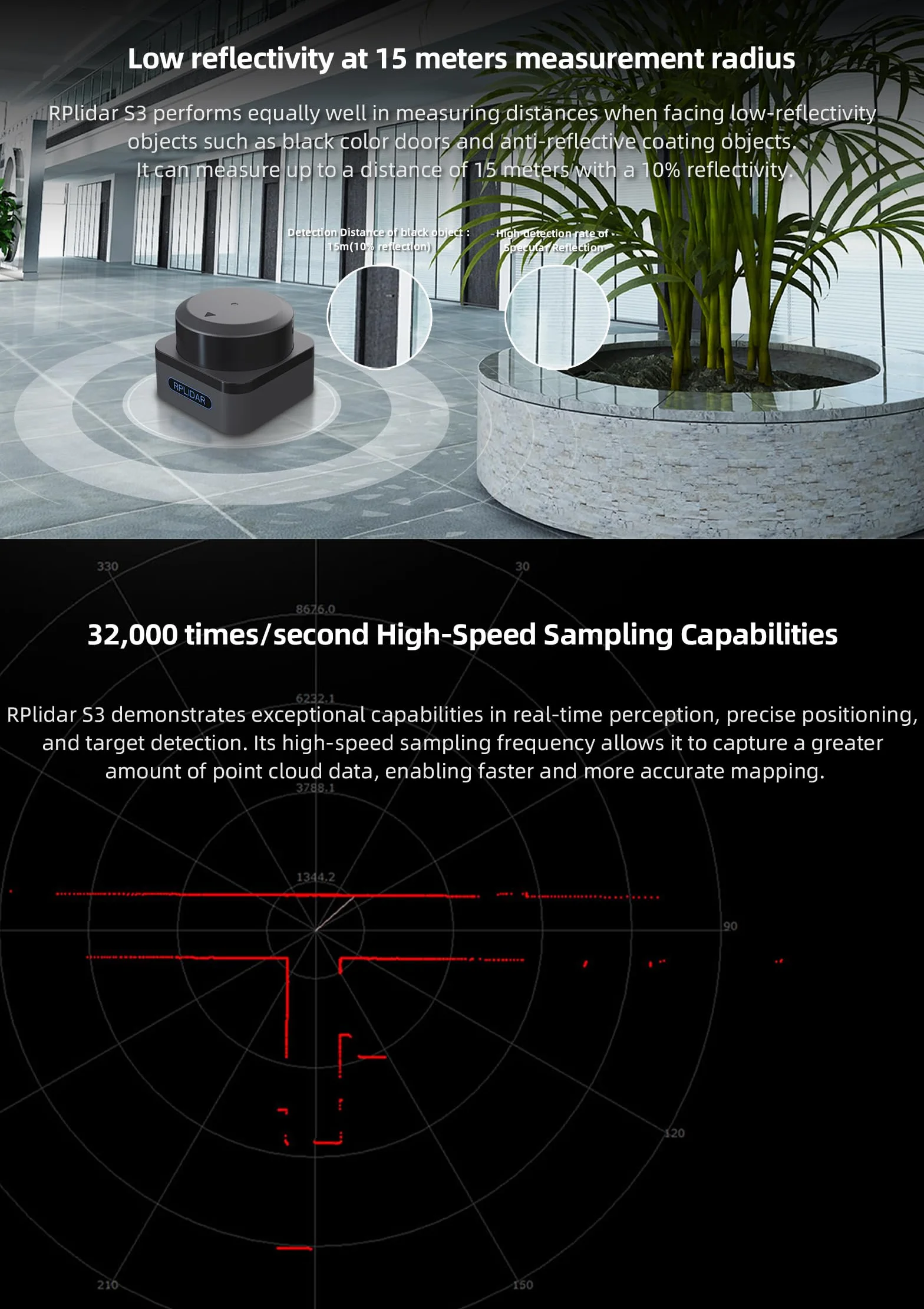
- [High-Speed Laser Ranging Capability] Slamtec RPLIDAR S3 lidar sensor adopts laser SL-TOF ranging technology, 32KHz times/second frequency, 0.05~40m measuring distance, 10~20Hz Scan frequency, 0.15°~0.18° resolution and TTL UART interface. And it uses non-contact energy and signal transmission technology, so that the S3 lidar can run stably and reliably for a long time.
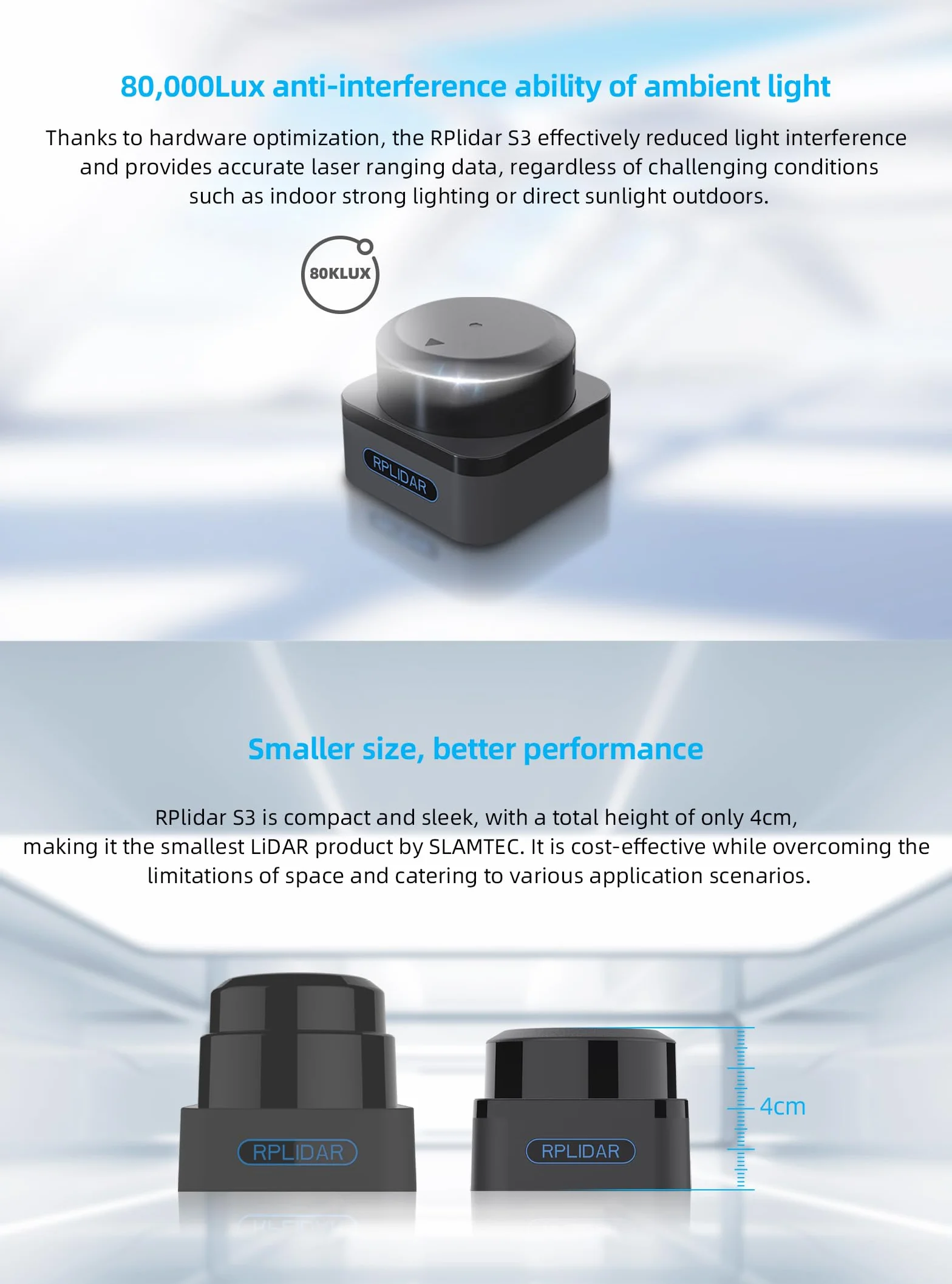
- [Strong Light Adaptability] RPLIDAR S3 rangefinder has a more stable ranging performance when detecting long-distance objects, switching between black and white objects, and strong light direct objects, and can achieve ideal mapping within a 40-meter ranging radius in indoor and outdoor environments Effect.
- [Plug and Play] With the 3 functions: built-in serial port and USB interface, open source SDK and tools and integration with ROS. Simply connect the RPLIDAR and a computer via a micro USB cable, users can use the RPLIDAR without coding work. High-speed RPVision Range Engine: RPVision 2.0
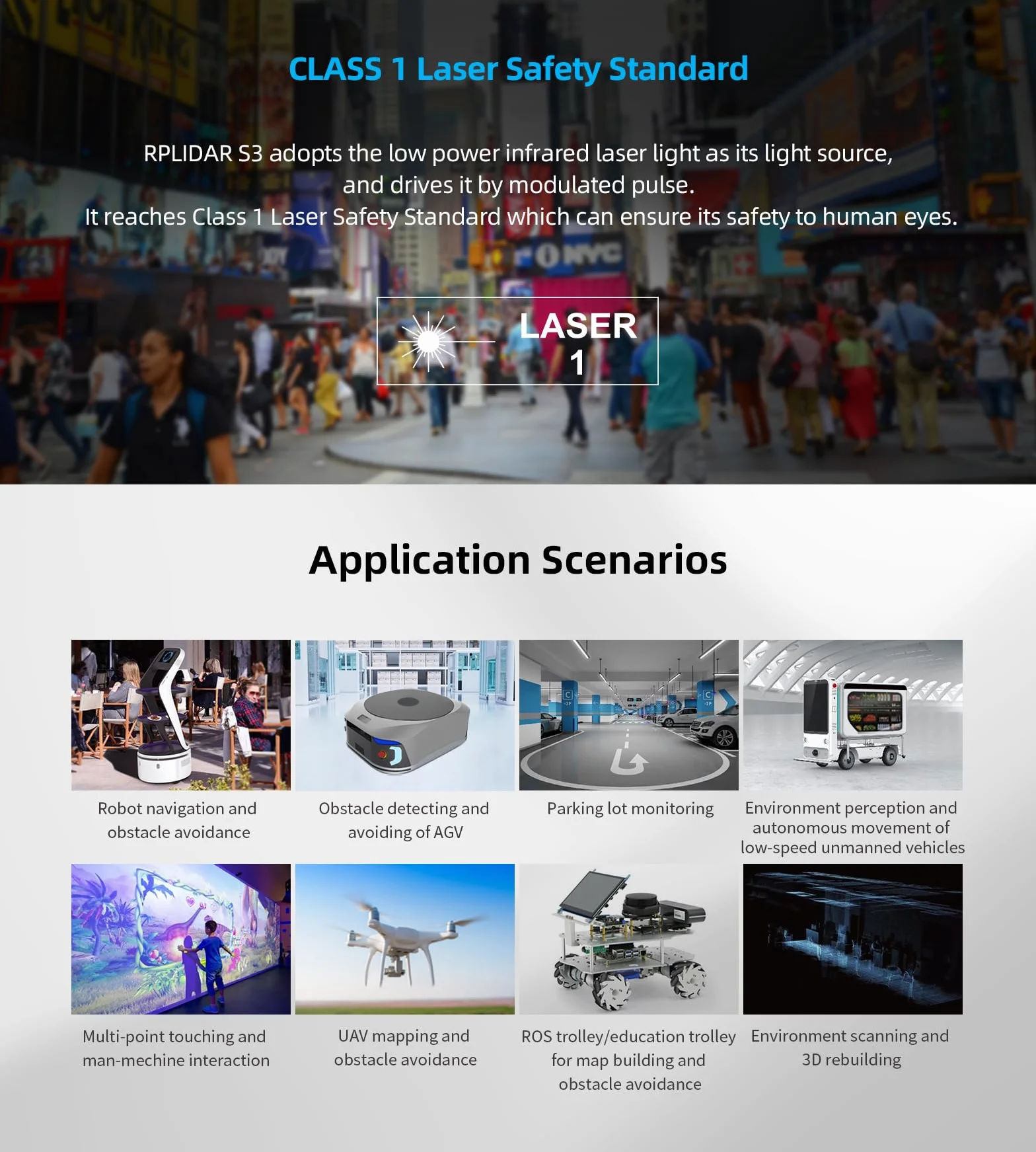
- [Wide Range of Application Scenarios] RPLIDAR S3 is a two-dimensional laser ranging radar, which can be used for general simultaneous positioning and mapping (SLAM), environmental scanning and 3D reconstruction, service robots for a long time, industrial fields, home care/ Navigation and positioning of cleaning robots, obstacle detection.
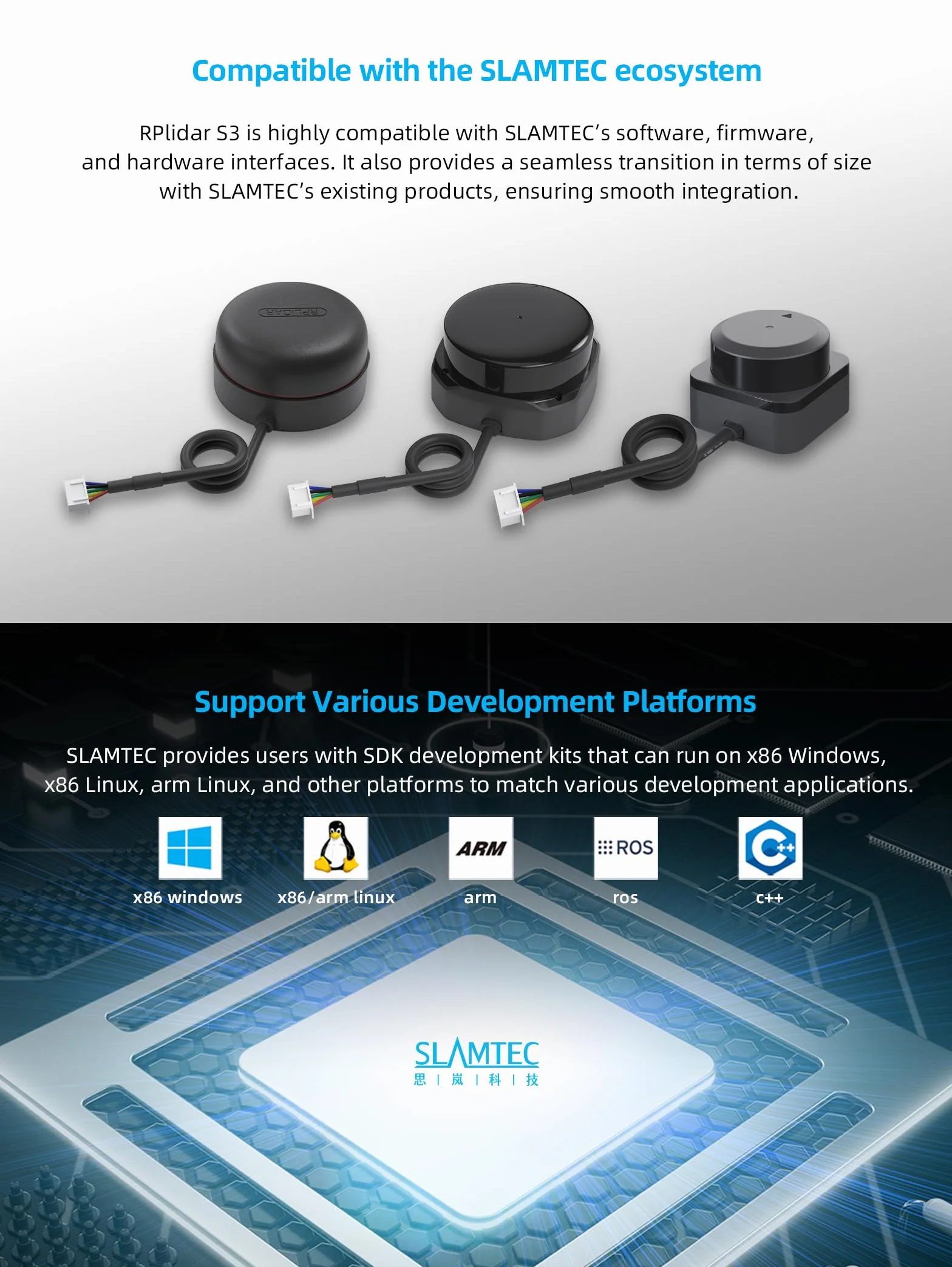
- [Various Development Platforms] In order to facilitate users to use RPLIDAR S3 lidar for product development and accelerate the development cycle, we provide the Framegrabber plug-in in the robot management and development software RoboStudio for users to graphically debug. And The SDK development kit under Linux and other platforms supports Windows and Linux operating systems.
- [Datesheet and SDK] "https://wiki.youyeetoo.com/en/Lidar/SLAMTECS2". Any problems, please click "WayPonDEV" and ask the question or leave the message in our technical team by "wpd#youyeetoo&com (#→@,&→.)".